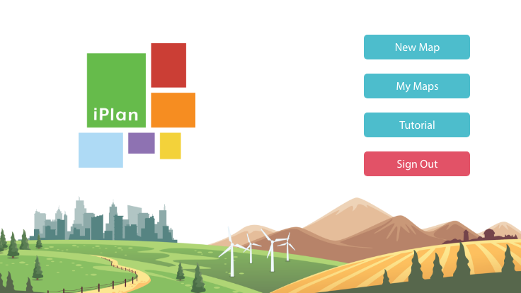
UW–Madison researchers teamed with New England conservation nonprofit Mass Audubon to create an online learning game that lets players model how different zoning choices would affect the environment, jobs, housing and other real-world factors for any location in the contiguous U.S.
Built using a variety of state and federal data sets, the free game, known as iPlan, lets players simulate different land-use scenarios and see the changing effects on their community – the way more needed housing in a certain location might further imperil a threatened species, for example, or how fewer factories would decrease pollution but also cost jobs.
“One of the key things that people learn when they use iPlan is that there are trade-offs across different outcomes,” lead game developer Andrew Ruis says. “For example, you can lower greenhouse gas emissions to fight climate change, but without innovation, most of the ways to do that also reduce housing or jobs or commercial activity.”
Ruis is associate director for research at Epistemic Analytics, a lab within the School of Education’s Wisconsin Center for Education Research focused on creating novel approaches and computational tools to improve the teaching and assessment of complex thinking.
“Every land-use decision has impacts,” Ruis explains. “The extent to which you prioritize different impacts is a social question. It’s about what people value and what they care about. The simulation is designed to model that.”