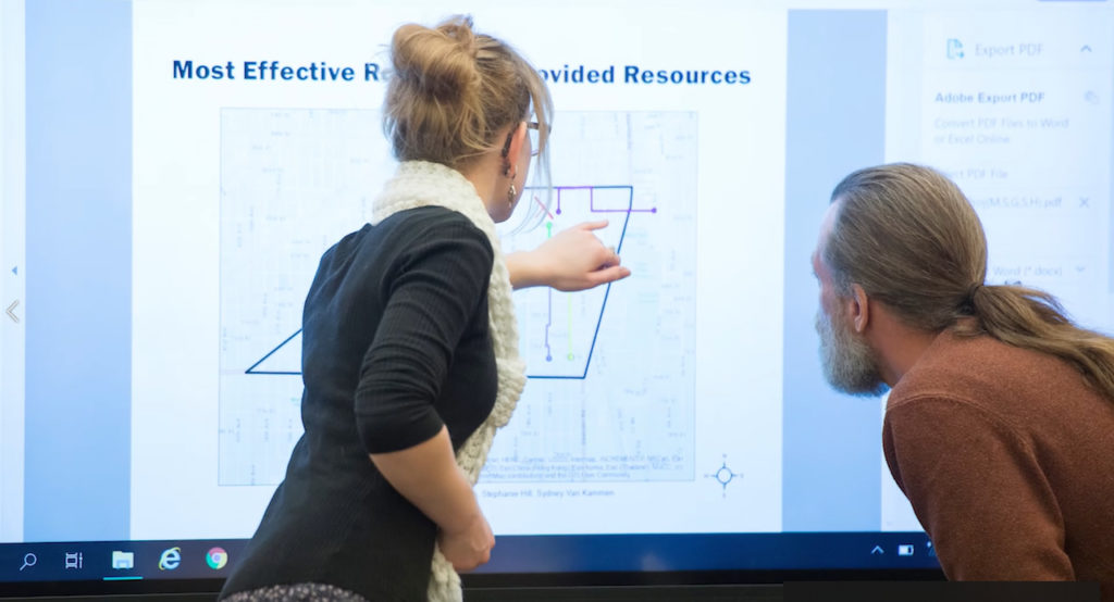
Walking to school safely can be a concern, especially in busy cities. UW-Parkside students in Dr. John Ward’s Geographic Information Systems course are using GIS mapping to develop a safe walking route – known as a “Walking School Bus” – for Kenosha children and their adult volunteers (who escort the kids to and from school). With feedback on the plan from parents, teachers, and volunteers – and help from UW-Parkside – Brass Elementary students will now have a safe way to get to school and succeed.

